|
|
|
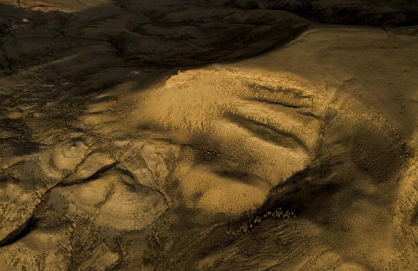
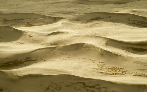
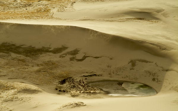
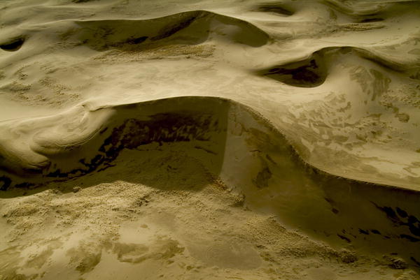
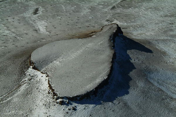
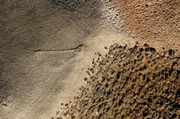
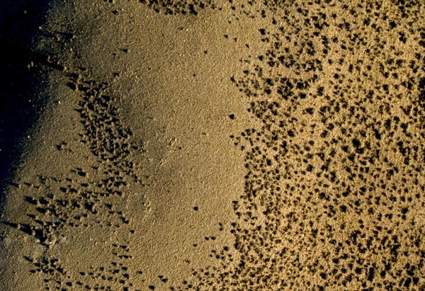
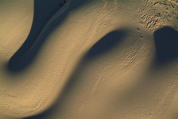 Close-up
of sand dunes, undulating shapes formed by wind, Southwest Wyoming desert
(winner, 2004 PAPA award).
|
|
|
|
|
|
|
|
|
|
|
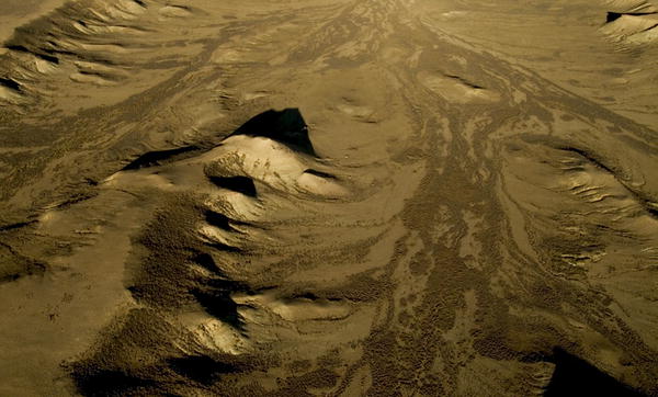
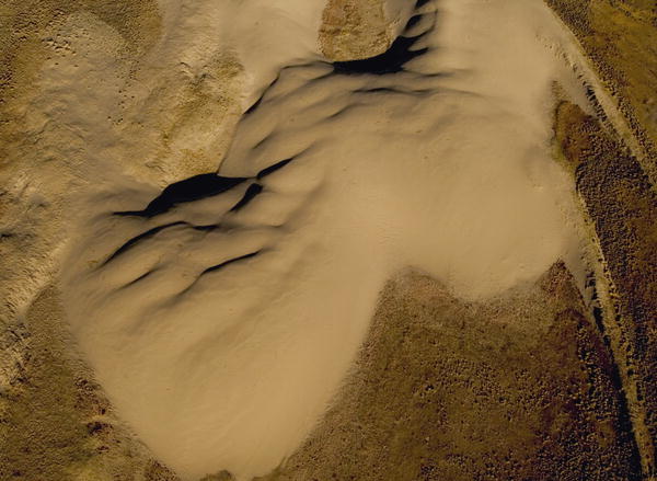 A Barkhan dune in Southwest Wyoming shows steady movement. |
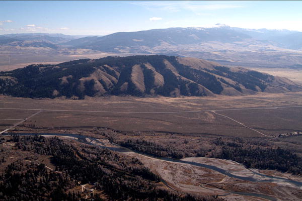
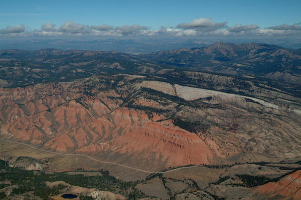
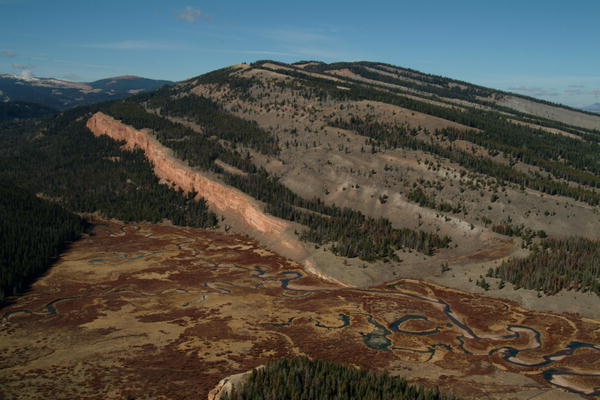 Red Cliff Ridge in the Gros Ventre Wilderness. |
|
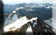
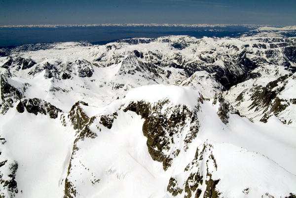
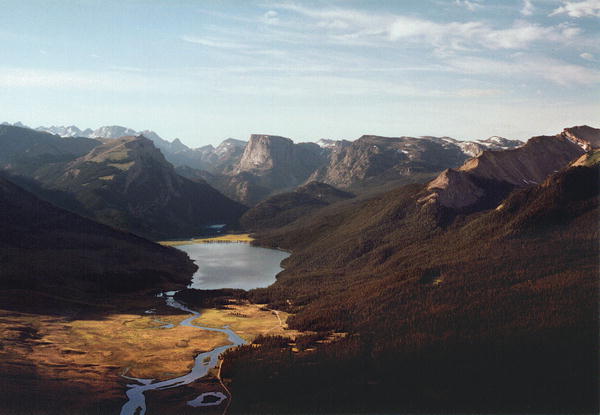
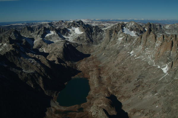 Upper Titcomb Lake in glacial basin below Mt. Sacagawea and Fremont Peak. |
|
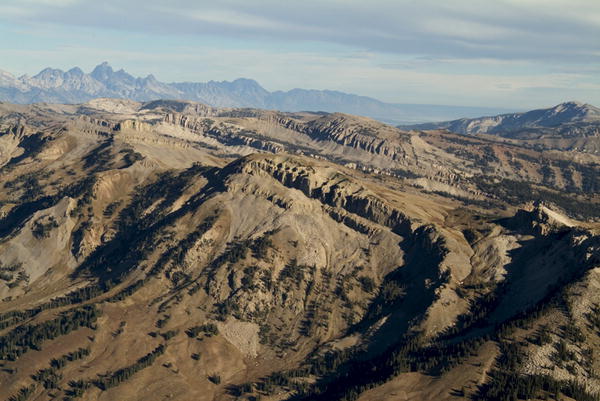
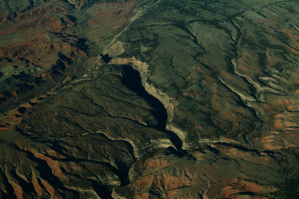
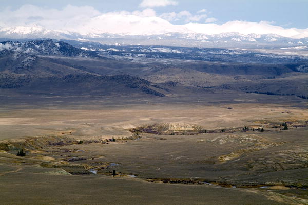
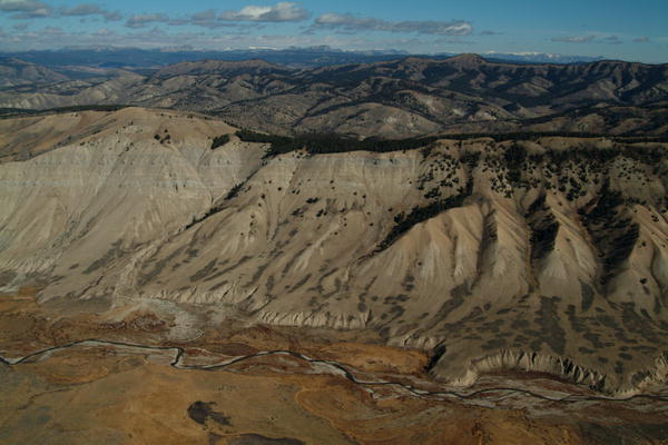
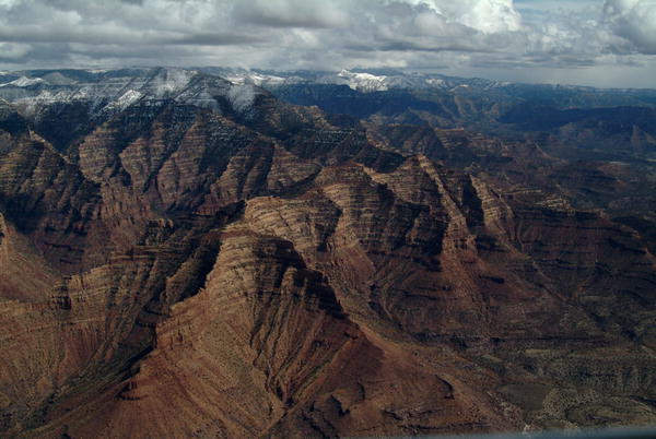 Rugged Tavaputs Plateau towers 5,000 feet above the Green River in Desolation Canyon. |
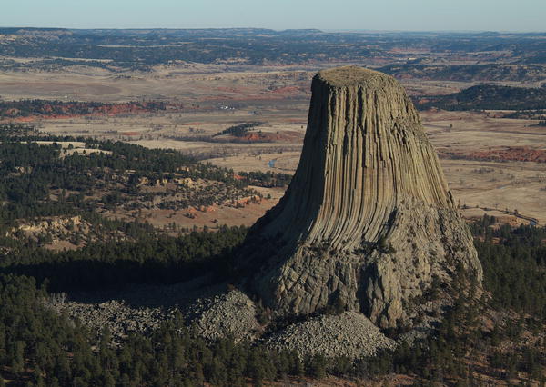
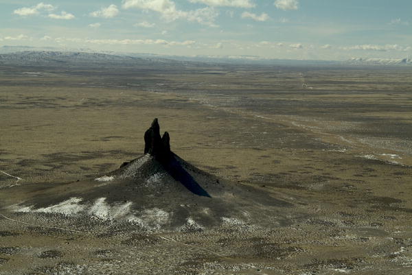 The famous Boar's Tusk landmark commands the desert north of Rock Springs, Wyoming. |
 Heart Butte, in the high desert north of Rock Springs, Wyoming, gleams with fresh snow. |
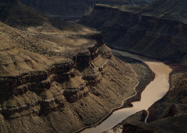
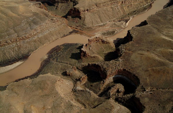 Three Fords Canyon on the Green River between Desolation and Gray Canyons in Utah's desert. |
|
|
|
|
|
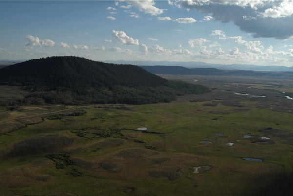
 Reclaimed gravel pit in the "South Valley" area near Steamboat Springs, Colorado. |
 Willow Lake has a crescent shape from sequential glaciation periods in Western Wyoming. |
|
|
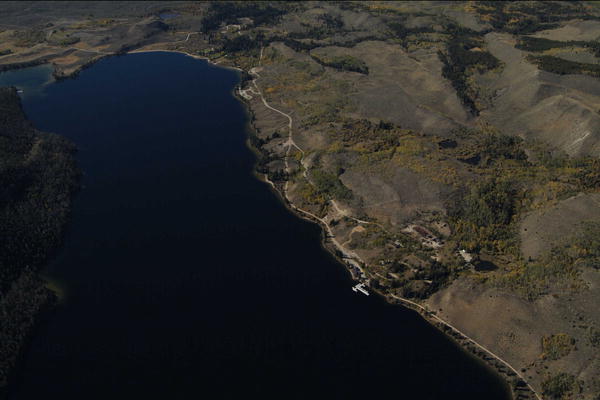
 Fremont Lake stores water for irrigation, municipal supply and instream flow. |
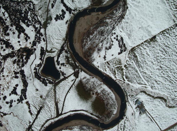
 Gypsum Creek braids into the Green below the Moose/Gyp Trailhead in the Wind River Mountains. |
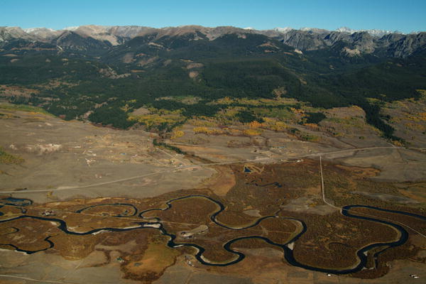
 The Gros Ventre River flows beneath sandstone bluffs toward the Snake River. |
 Headwaters of the Green River (featured in "The Fur Trade and Rendezvous of the Green River Valley"). |
|
|
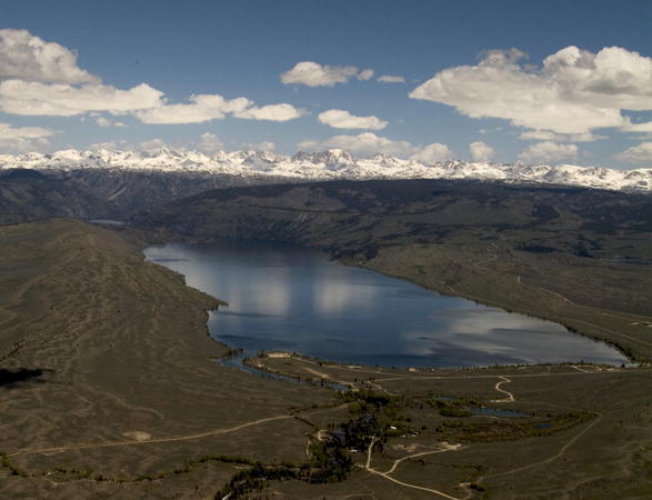
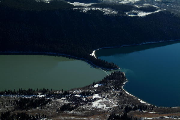
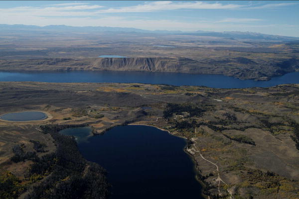 Half Moon and Fremont Lakes provide deep cold water for the elusive lake trout. |
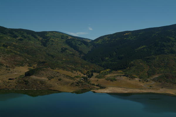
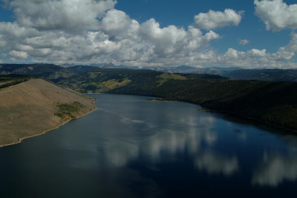
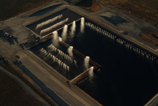
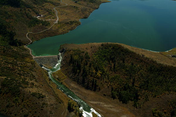 Lake Catamount spillway and dam regulating water storage on the Yampa River. |
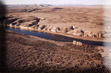
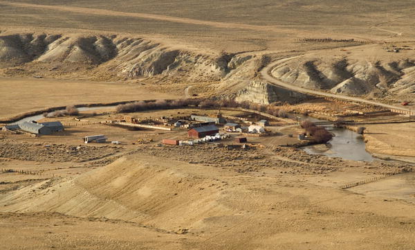
 Historic Black Butte Ranch pasture loop on the Green River. |
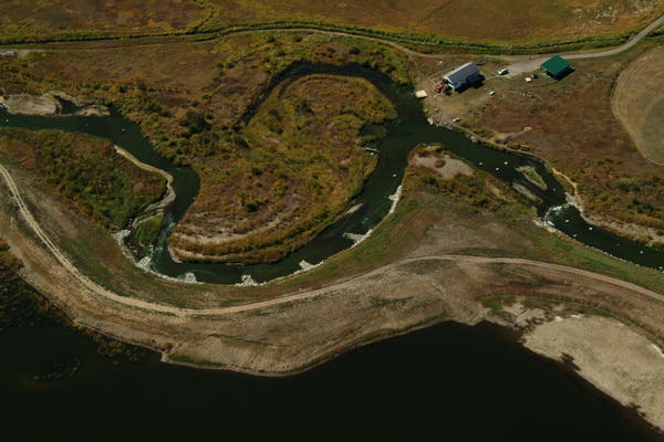
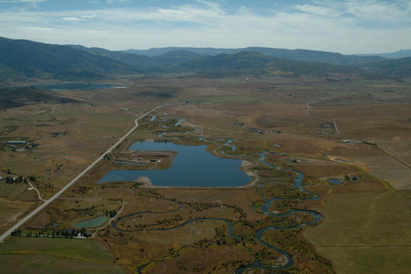
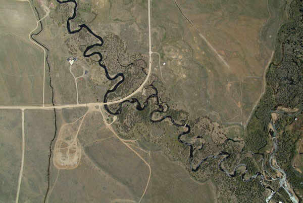
 The confluence of New Fork River and Pole Creek is just south of the Pinedale Airport. |
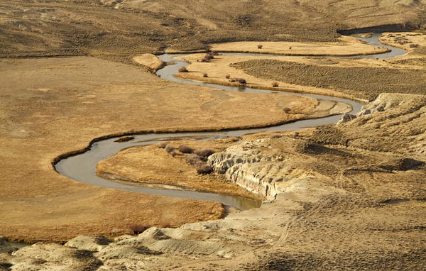
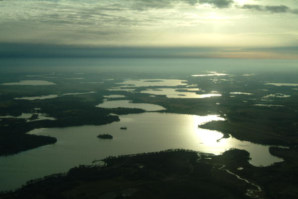
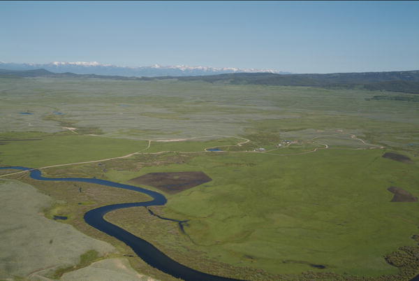
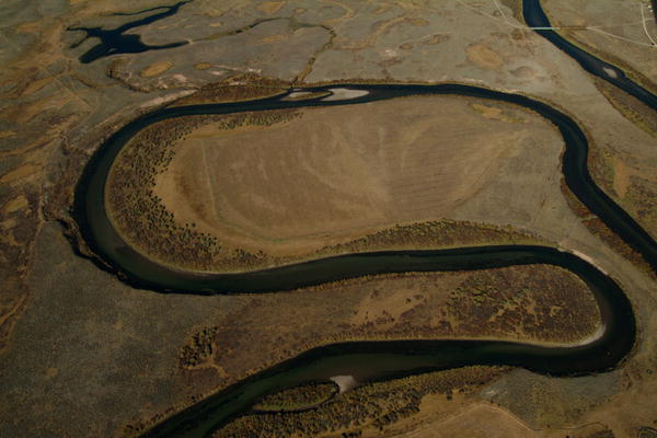
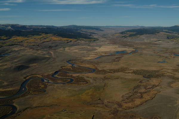
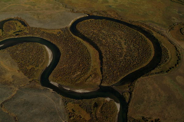 This oxbow is becoming a slough off the main channel of the Green River. |
 Pine Creek joins the New Fork River south of Pinedale, Wyoming. |
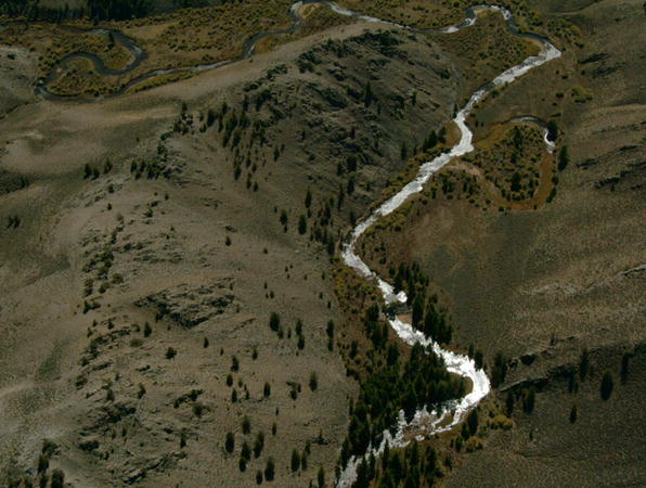 The Sweetwater River headwaters in the southern Wind River Mountains |
 Silt from a massive landslide colors Upper New Fork Lake in Wyoming's Wind River Mountains. |
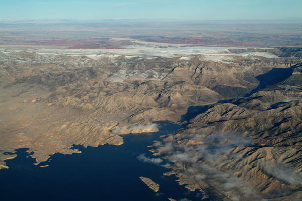
 Gray Canyon of the Green River ends at the Book Cliffs north of Green River, Utah. |
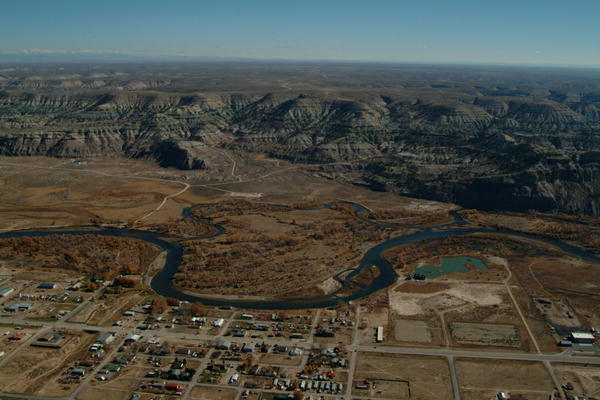
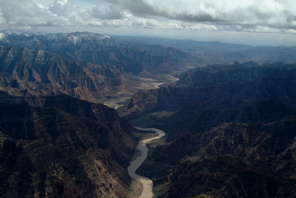 National Historic Landmark Desolation Canyon was named by Major Powell in his 1869 expedition down the Green River. |
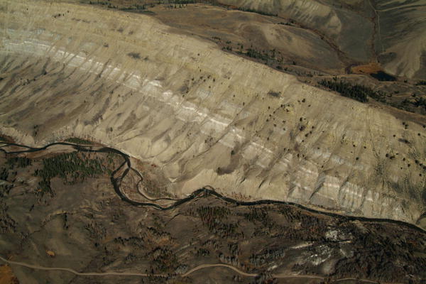
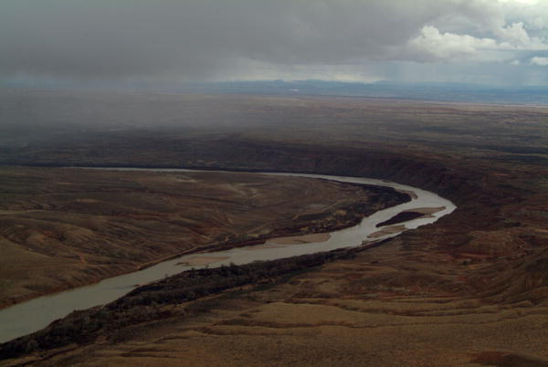 Wide lazy bend in the Green River through Uinta Basin, south of Vernal, Utah. |
|
|
|
|
|
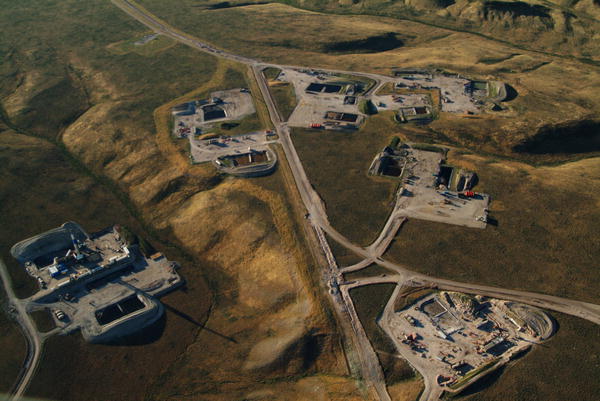
 Dehydration pit for drilling fluids on the Pinedale Anticline. |
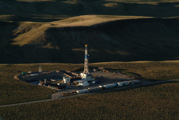 Huge gas reserves south of Pinedale, Wyoming have brought many drilling companies to Sublette County. |
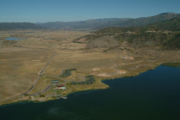 Lake Catamount Resort surrounded by pasture in conservation easement with Yampa Valley Land Trust. |
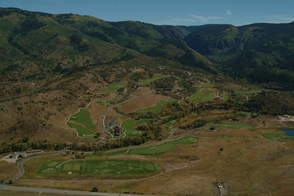 Storm Mountain Development in the preserved Walton Creek drainage south of Steamboat Springs. |
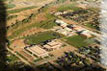
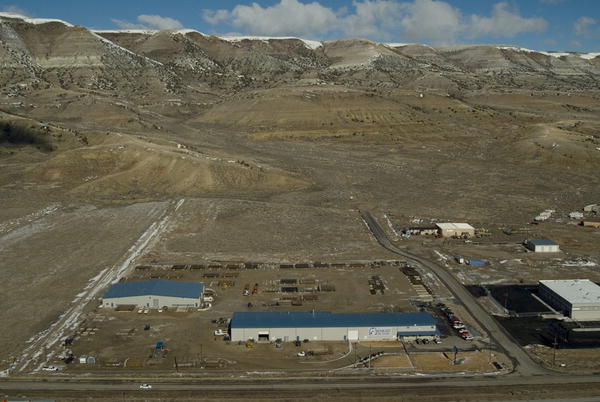
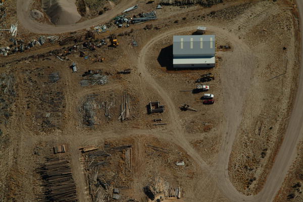
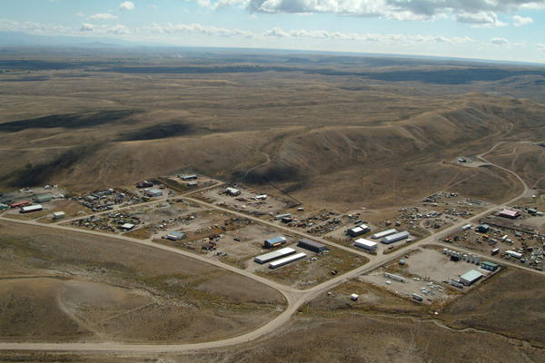 Light industrial complex near Pinedale, Wyoming. |
 Historic Z-U Ranch along Willow Creek east of Cora, Wyoming. |
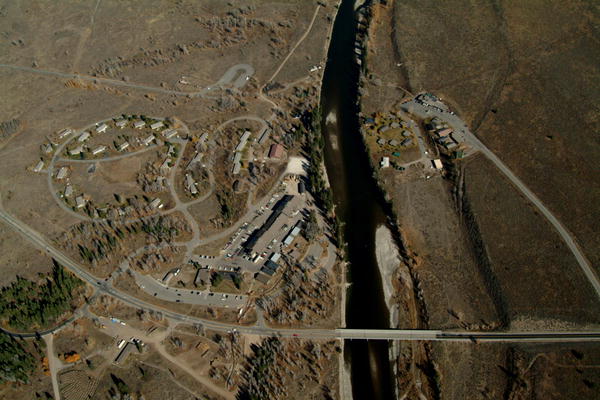
 Half Moon Lake Marina below White Pine Ski Resort, Sublette County, Wyoming. |
|
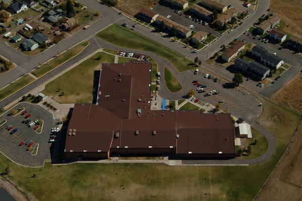 New roof on Middle School by Siplast Company in Evanston, Wyoming. |
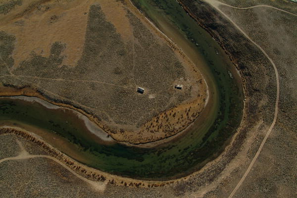 Abandoned homestead on the Green River near Warren Bridge, Sublette County, Wyoming. |
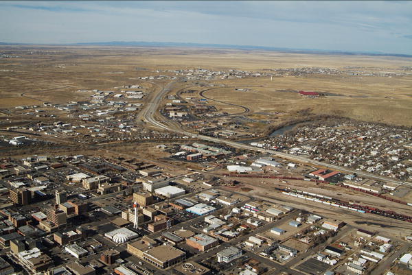
 LaBarge, Wyoming on the Green River in Lincoln County. |
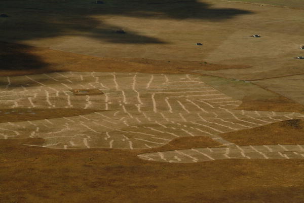
 Gas well spacing on the Mesa in Sublette County, Wyoming in 2005. |
 Moose Village near historic Menor's Ferry in Grand Teton National Park. |
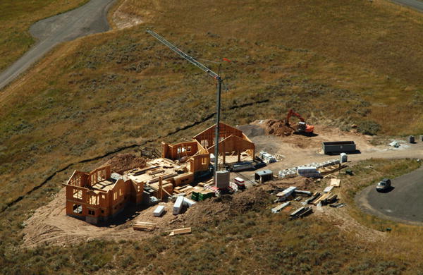
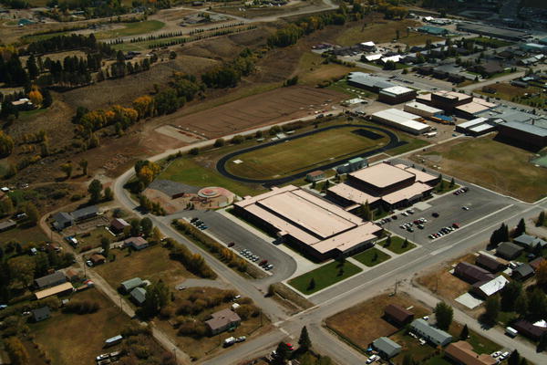 Construction progress update for Pinedale, Wyoming schools. |
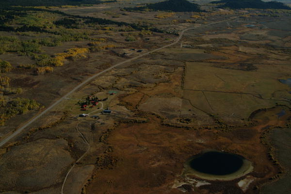
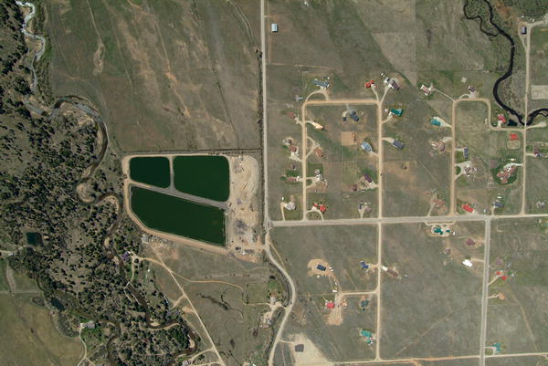 Treatment lagoons near proposed subdivision in Pinedale, Wyoming. |
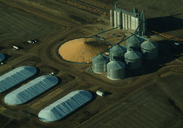 Grain and silage storage in South Dakota. |
 Native American rock alignment appears to point the way through a mountain pass. |
 Rock rings on Teepee Ridge, possibly from Native American dwellings. |
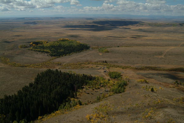
 Teepee Ridge, Sommers Ranch on the Green River's Cottonwood corridor. |
Call
us for a portrait of your property, ranch or business! |
|
|
|
|
|
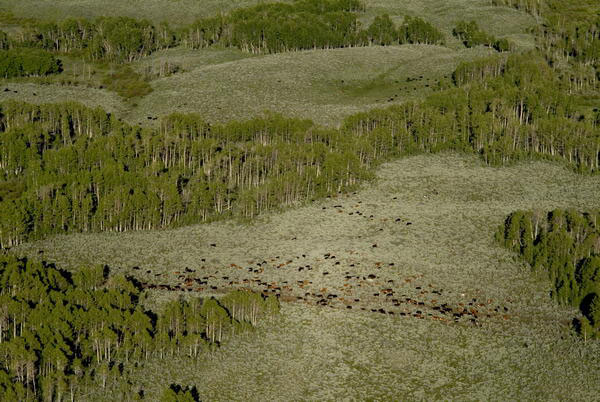
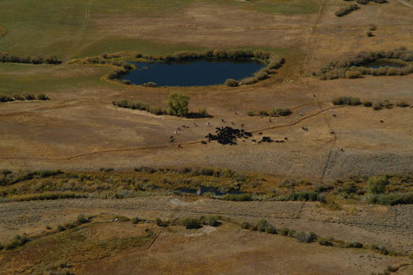 Holding the herd to "pair up" cows and calves in the fall near Cora, Wyoming. |
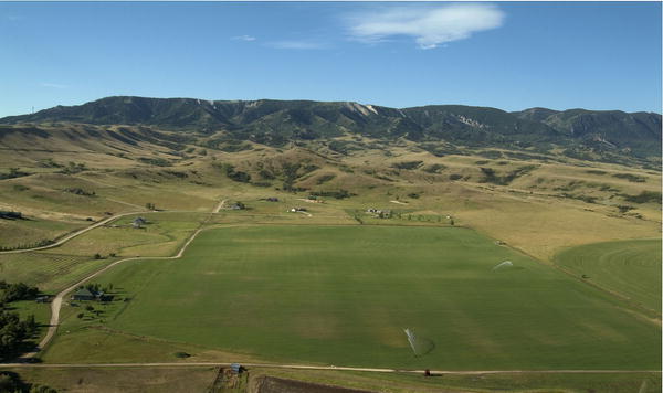
 High country ranches provide high-quality hay, pasture, and wildlife habitat. |
 Historic Circle S Ranch, homesteaded in early 1900s by the Showers Family. |
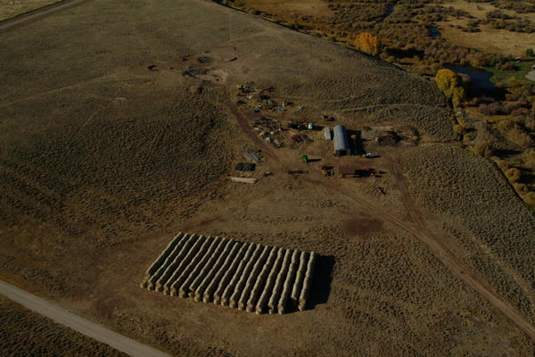 Precisely stacked hay bales are accessible to feed during long Sublette County winters. |
 Careful estate planning helps keep a ranch in the family for more generations. |
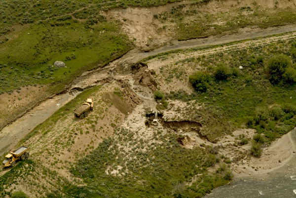 Beginning repairs after spring blow-out on the Canyon Ditch, Sublette County, Wyoming. |
 Repair completed by Noble Construction on the Canyon Ditch in Sublette County, Wyoming. |
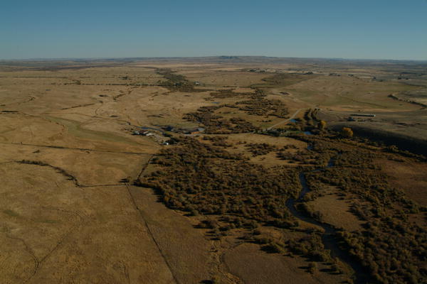
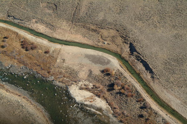
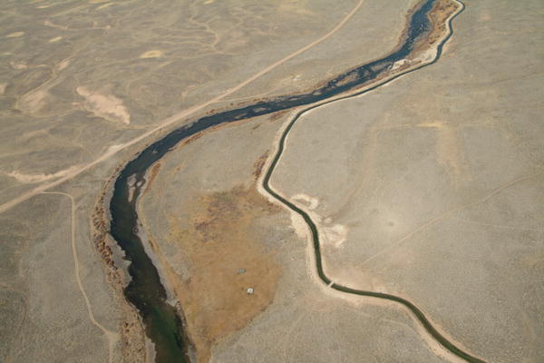 Green River paralleled by Canyon Ditch carrying irrigation and stock water. |
 Fall roundup at Trapper's Point, ancient migratory corridor for mule deer, pronghorn, and elk. |
 The original homestead ditch on the "Finn Place" was manually dug with horsepower near Cora, Wyoming. |
Vertical shot of Clear Creek running through ranchland east of Sheridan, Wyoming. |
 Aerial Valentine in fallow field near East Aberdeen, South Dakota. |
 Big Horn Equestrian Center, Sheridan, Wyoming. Polo field developed by horse breeding ranches. |
 Established sheep ranch on Big Sandy River at season's end, after shipping. |
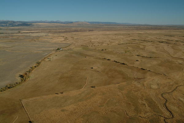
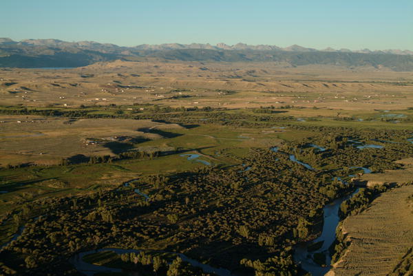
 Homestead meadows pattern the Gros Ventre River Valley. |
|
To schedule an assignment or purchase a print:
|
Mountains & Desert | Watersheds | Settlements & Industry | Agriculture Home | About Us | Georefenced Imagery and GIS | Headwaters Exhibit All images copyright Wyoming Aero Photo LLC/Rita Donham. May not be used without permission. |